Английский
В наличии
-20%
1 474 ₽
1 843 ₽
Описание
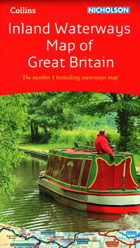
The bestselling guides to Britain's canals and rivers for 50 years.
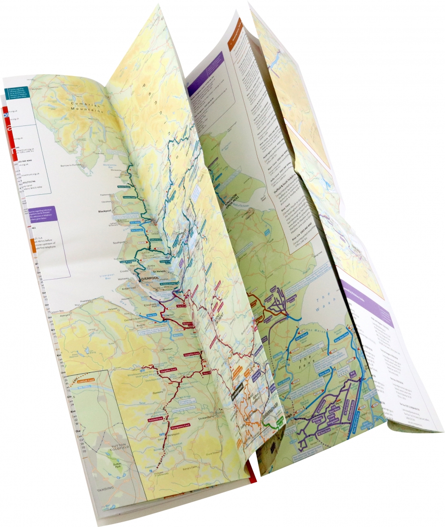
The map companion to the Collins Nicholson Waterways Guides, covering the entire network of canal and river navigations in England, Scotland and Wales, including newly restored/opened canals and rivers.
The map identifies:
- narrow and broad canals;
- navigable rivers;
- tidal river navigations;
- waterways under construction.
Also:
- contact telephone numbers and dimensions for each waterway
- internet links
Clear insets of the Birmingham Canal Navigations, Scottish inland waterways, the Norfolk Broads and the London area.
Характеристики
Основные
- Дата выпуска 2020
- Количество страниц 2
- Артикул 158097
Дополнительные
- Размер (мм) 240x135x10
- Тип бумаги Мелованная бумага
- Вес (г) 156
- Тип переплёта Лист - обозначение переплета для плакатов, календарей
Об ошибках и неточностях в описании товара Inland Waterways Map of Great Britain за авторством Вы можете сообщить нам по почте shop@deltabook.ru