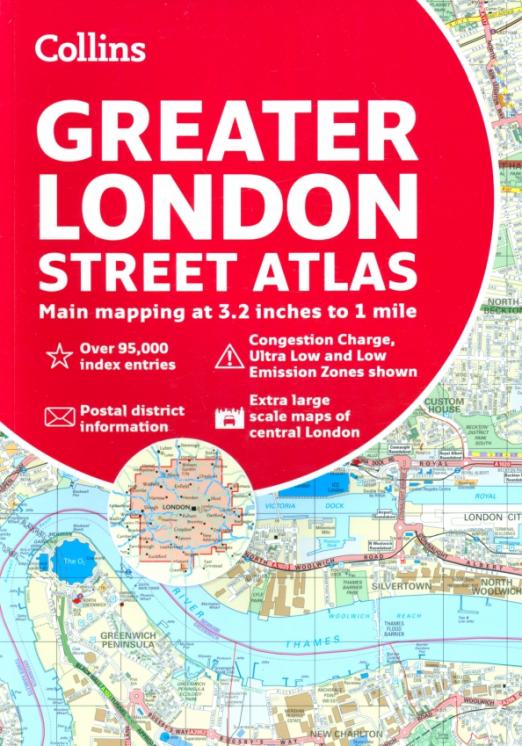
Описание
A definitive guide to the streets of London.
The ultimate Collins street atlas of London, featuring incredibly detailed street level maps, with more than 40 categories of information, covering 1660 square miles in and around London and with more than 95,000 street names.
Includes airport plans, London Underground Map, congestion charges and low emission zone information.
Full index to street names and places of interest, including hospitals, schools, colleges and stations.
Scales used
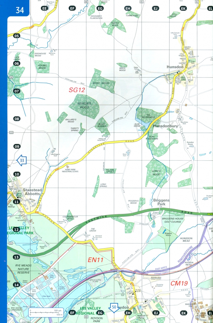
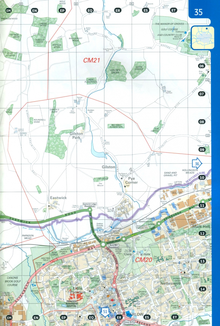
• 1:10,000 Central area, 1:20,000 Main area, 1:63,360 Urban maps
1:20,000 scale (3.2 inches to 1 mile) is from Welwyn Garden City in the north to Gatwick Airport in the south, and from Windsor in the west to Gravesend in the east
1:10,000 (6.3 inches to 1 mile) scale extends from Highbury in the north to Clapham in the south and from Shepherd’s Bush in the west to Beckton in the east
Характеристики
Основные
- Дата выпуска 2020
- Количество страниц 487
- Артикул 158127
Дополнительные
- Размер (мм) 297x210x25
- Тип бумаги Мелованная бумага
- Вес (г) 1590
- Тип переплёта обл - мягкий переплет (крепление скрепкой или клеем)
Об ошибках и неточностях в описании товара Greater London Street Atlas за авторством Вы можете сообщить нам по почте shop@deltabook.ru